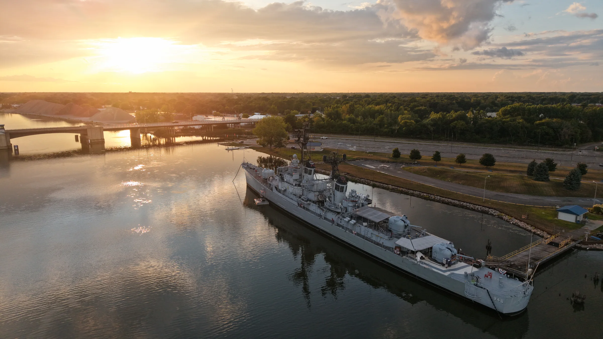
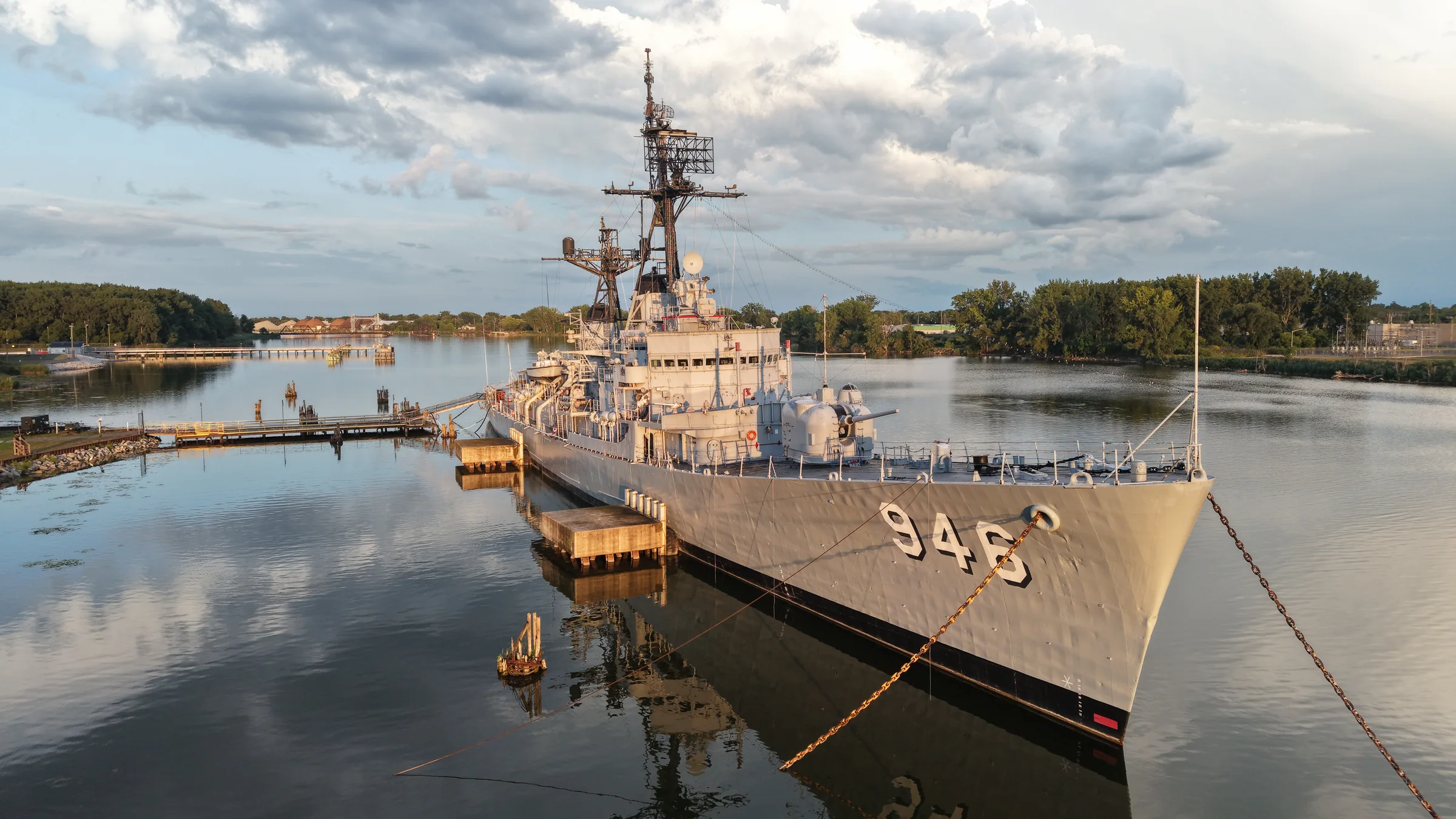
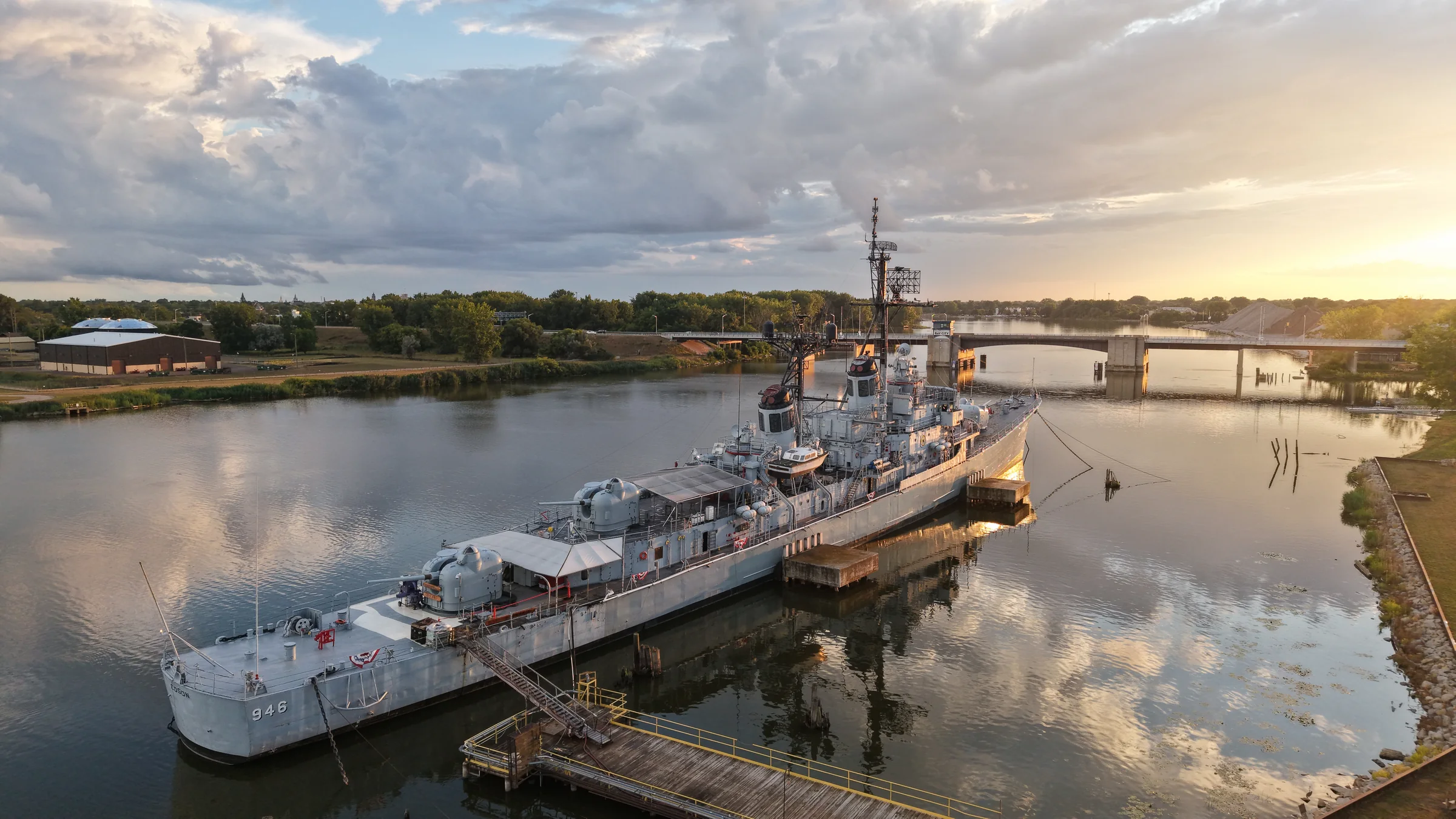
USS Edson
Maritime heritage
Aerial intelligence · Michigan
High-resolution aerial mapping, immersive FPV fly-throughs, and site intelligence for construction, land, and commercial spaces.
Selected aerial work
Aerial photography of properties, infrastructure, and landscapes.
Immersive aerial capture
Drag or swipe to look around. Scroll or pinch to zoom.
Maritime heritage
Architecture & waterfront
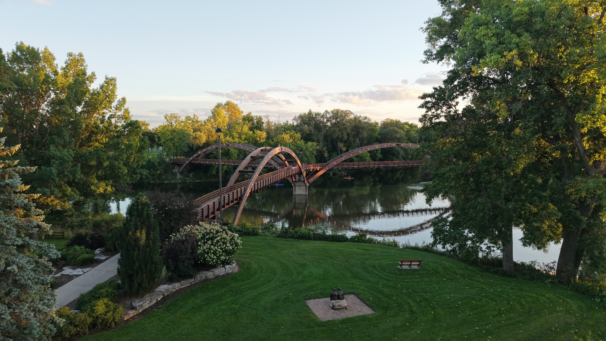
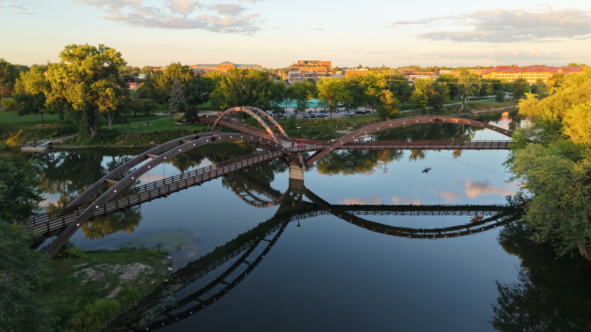
Waterfront & landscape
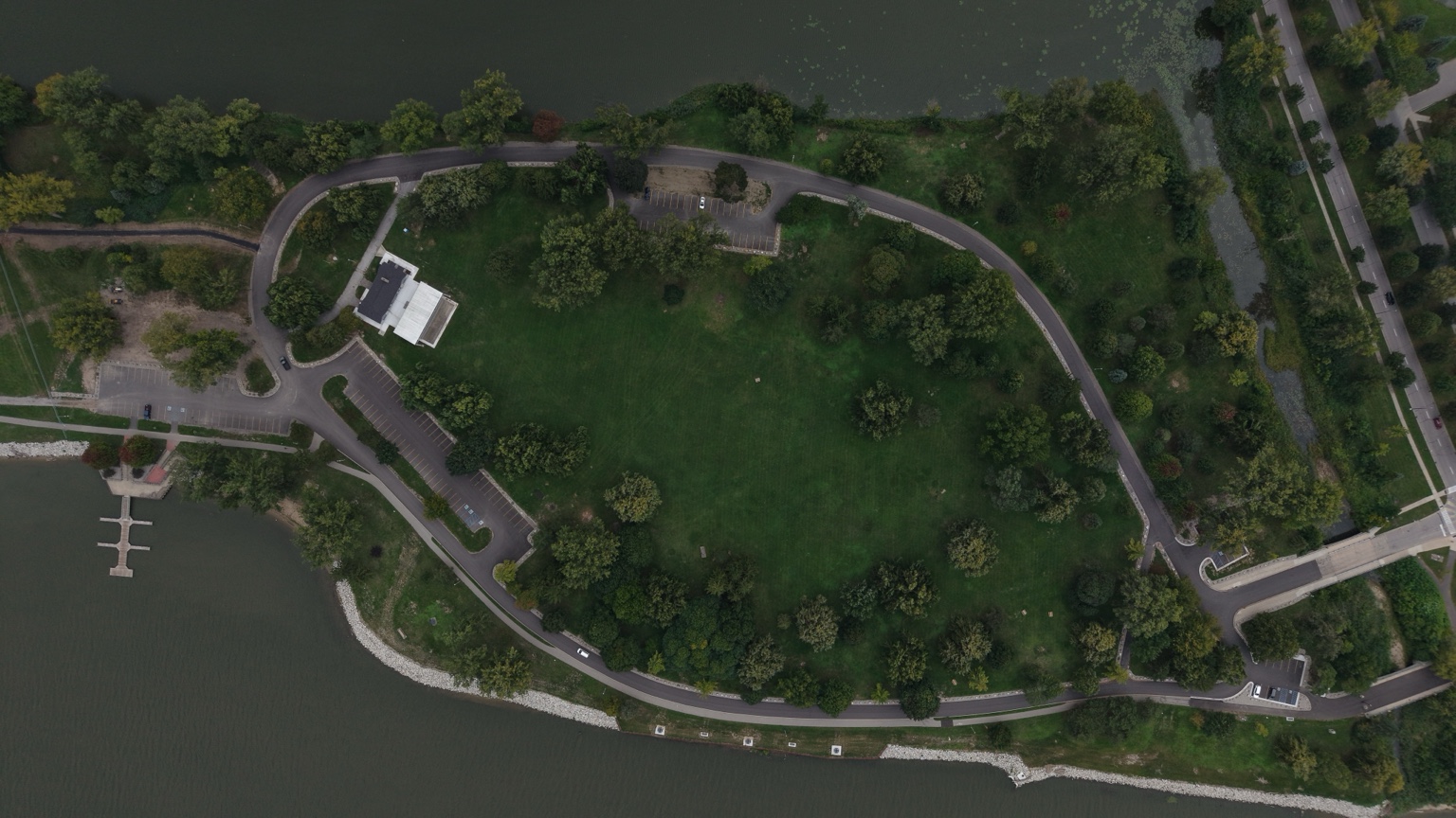
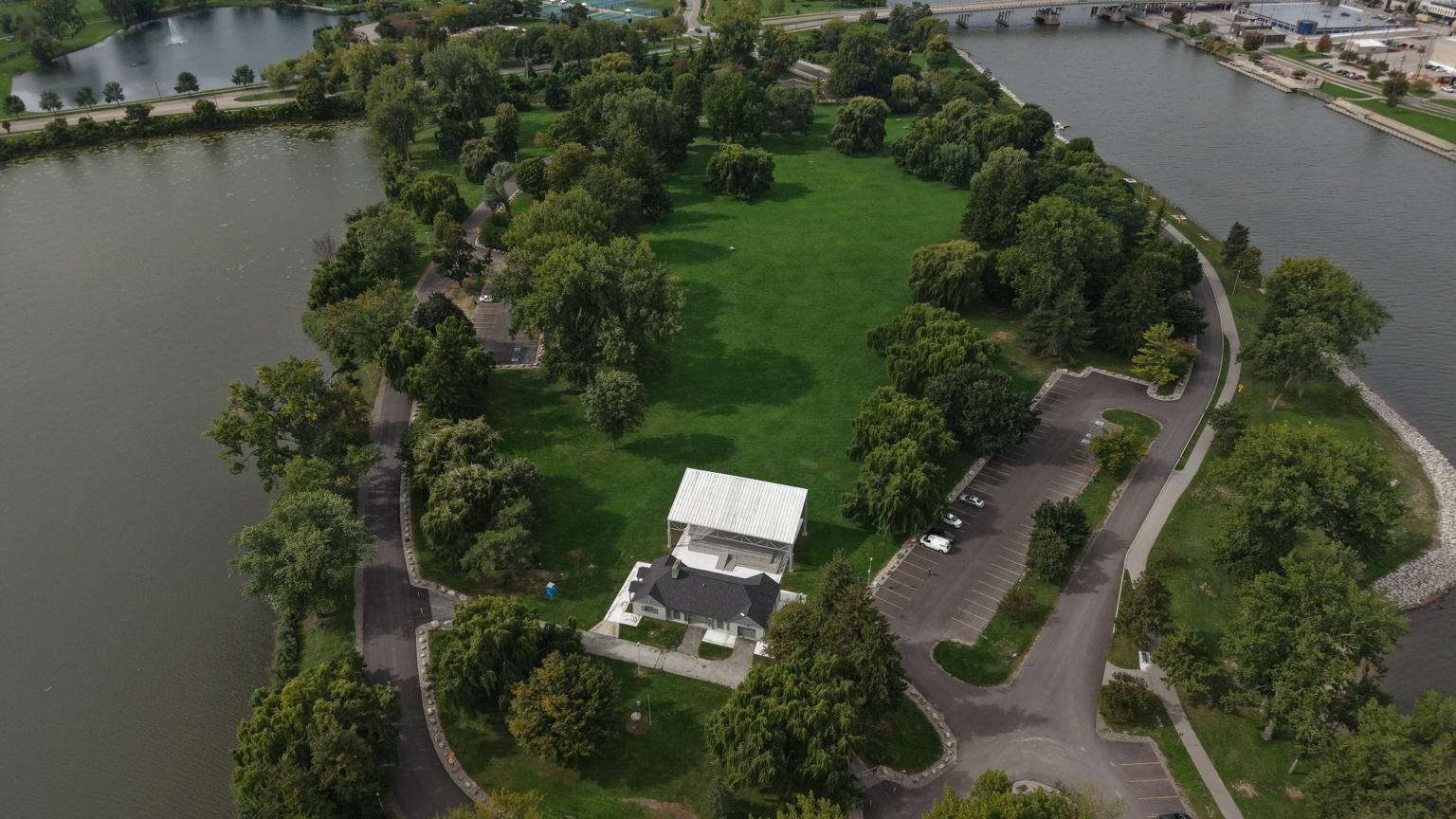
Infrastructure
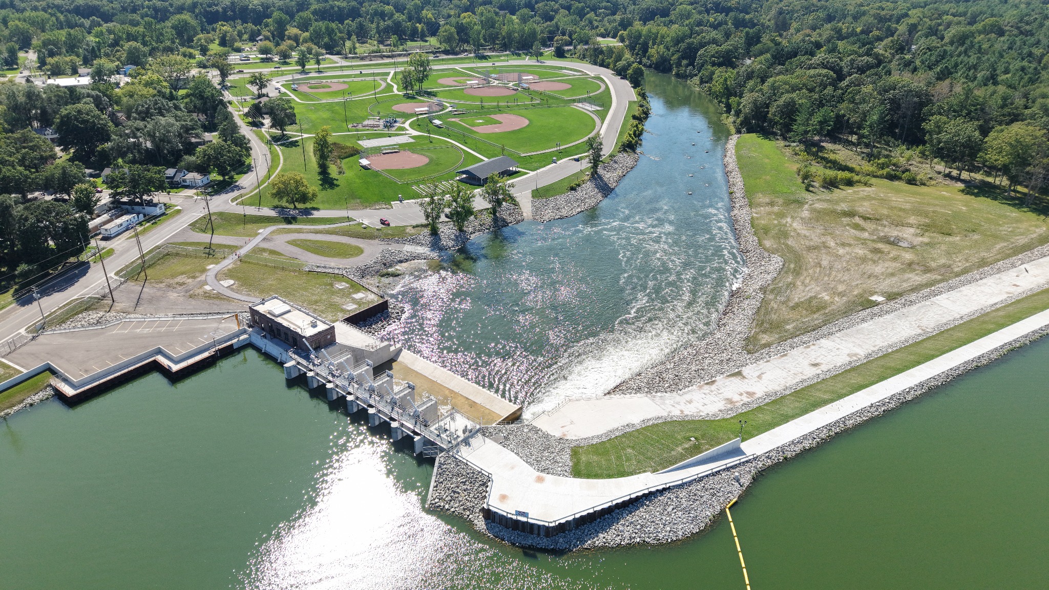
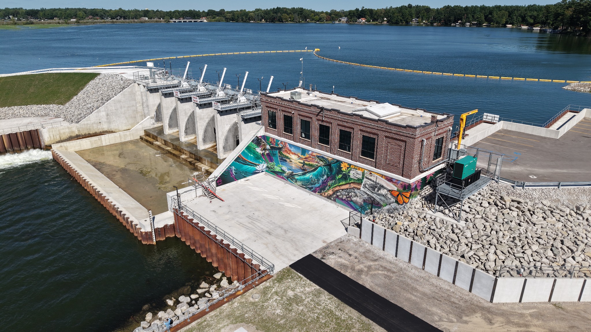
Building documentation
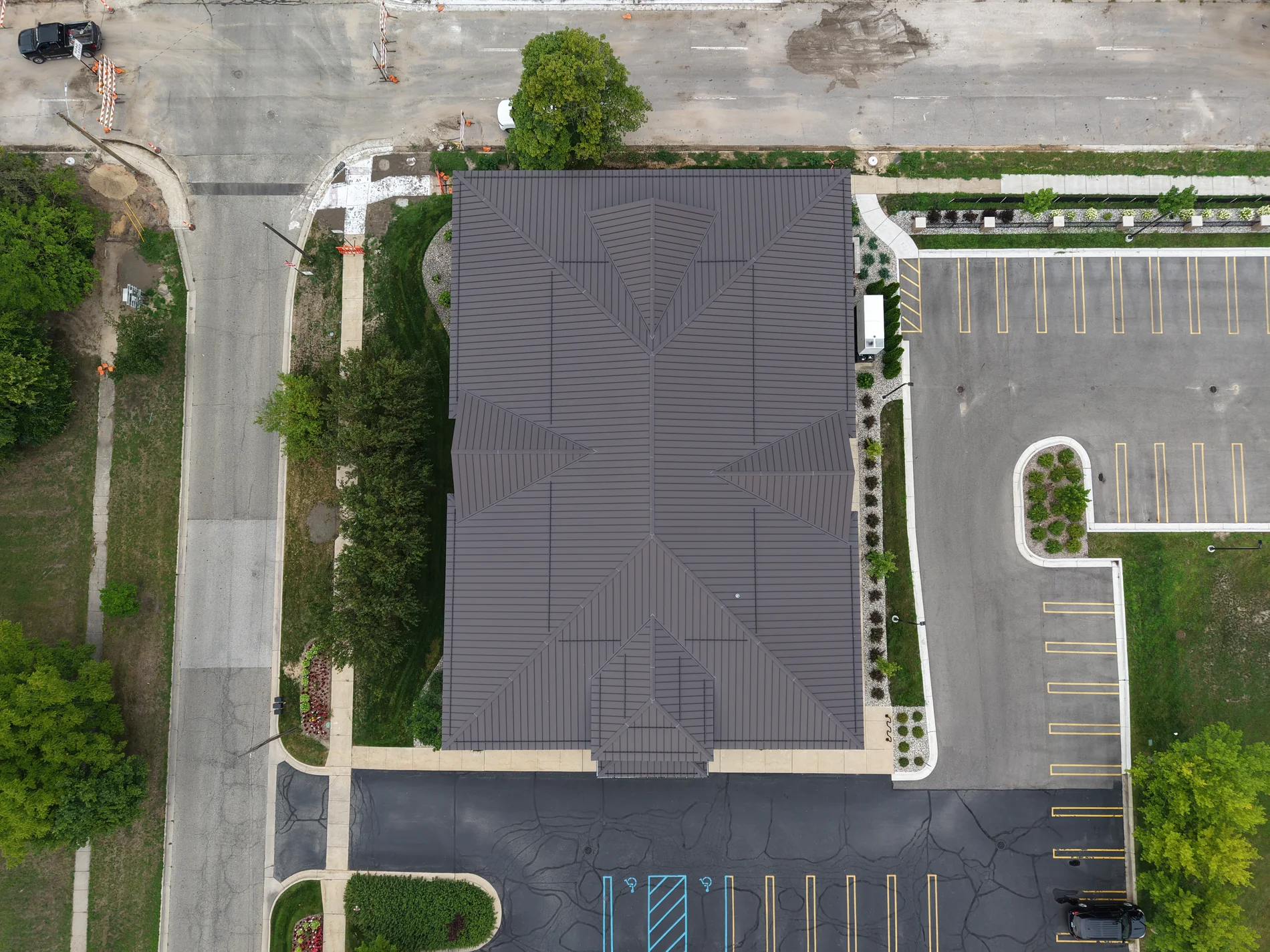
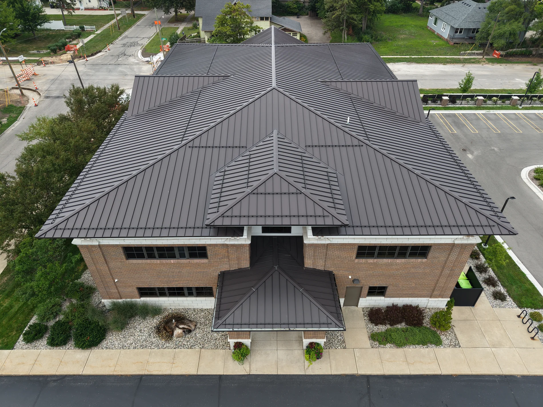
Site overview
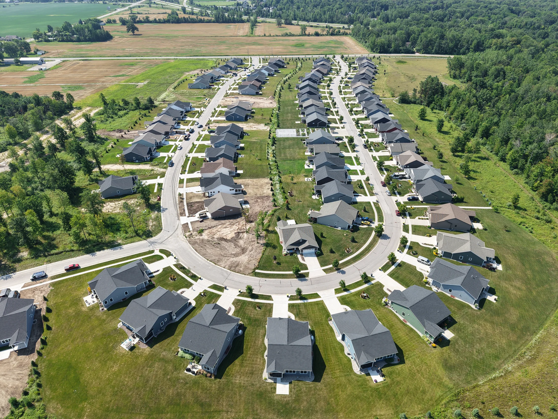
Event coverage
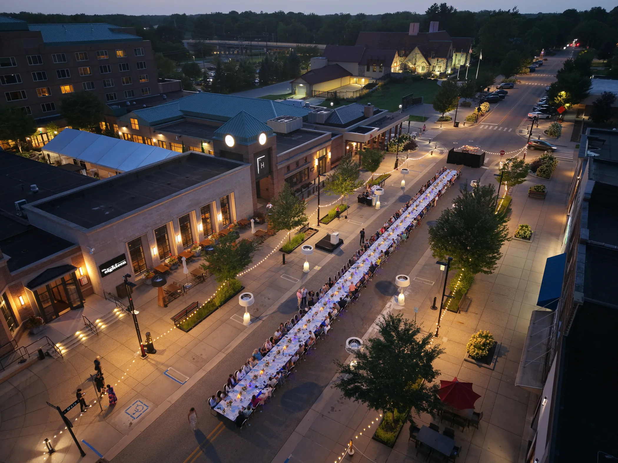
Real estate
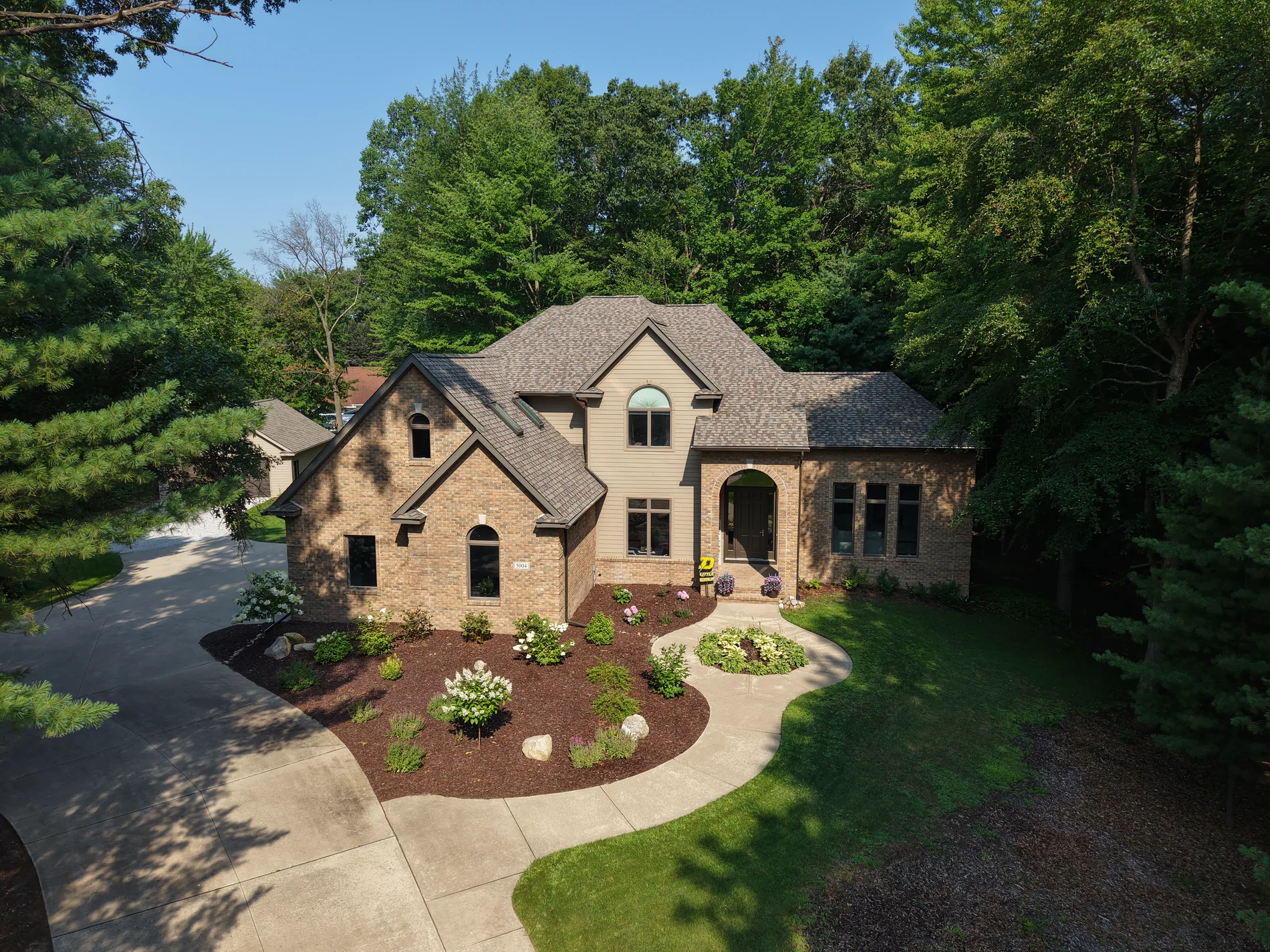
Real estate
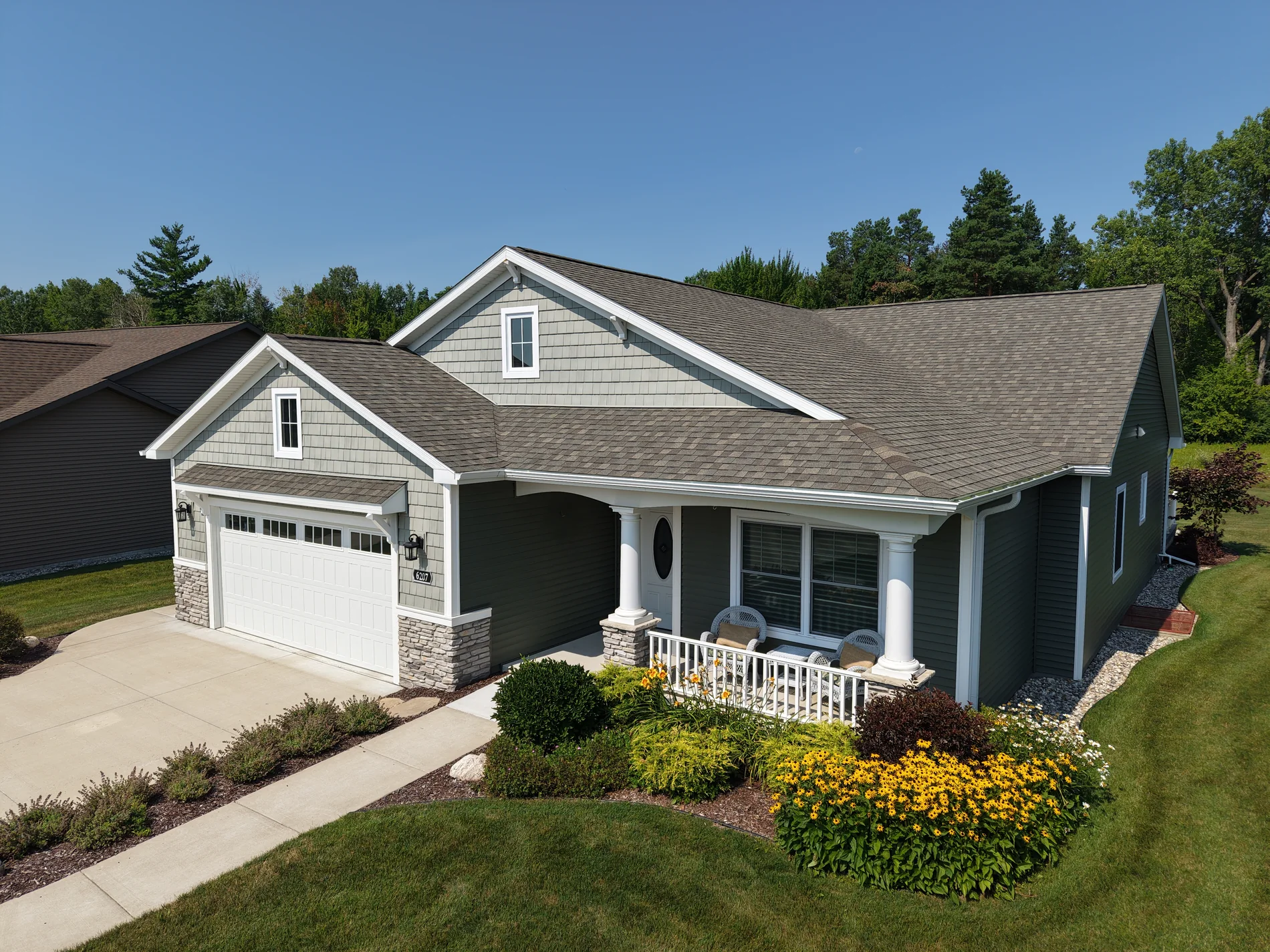
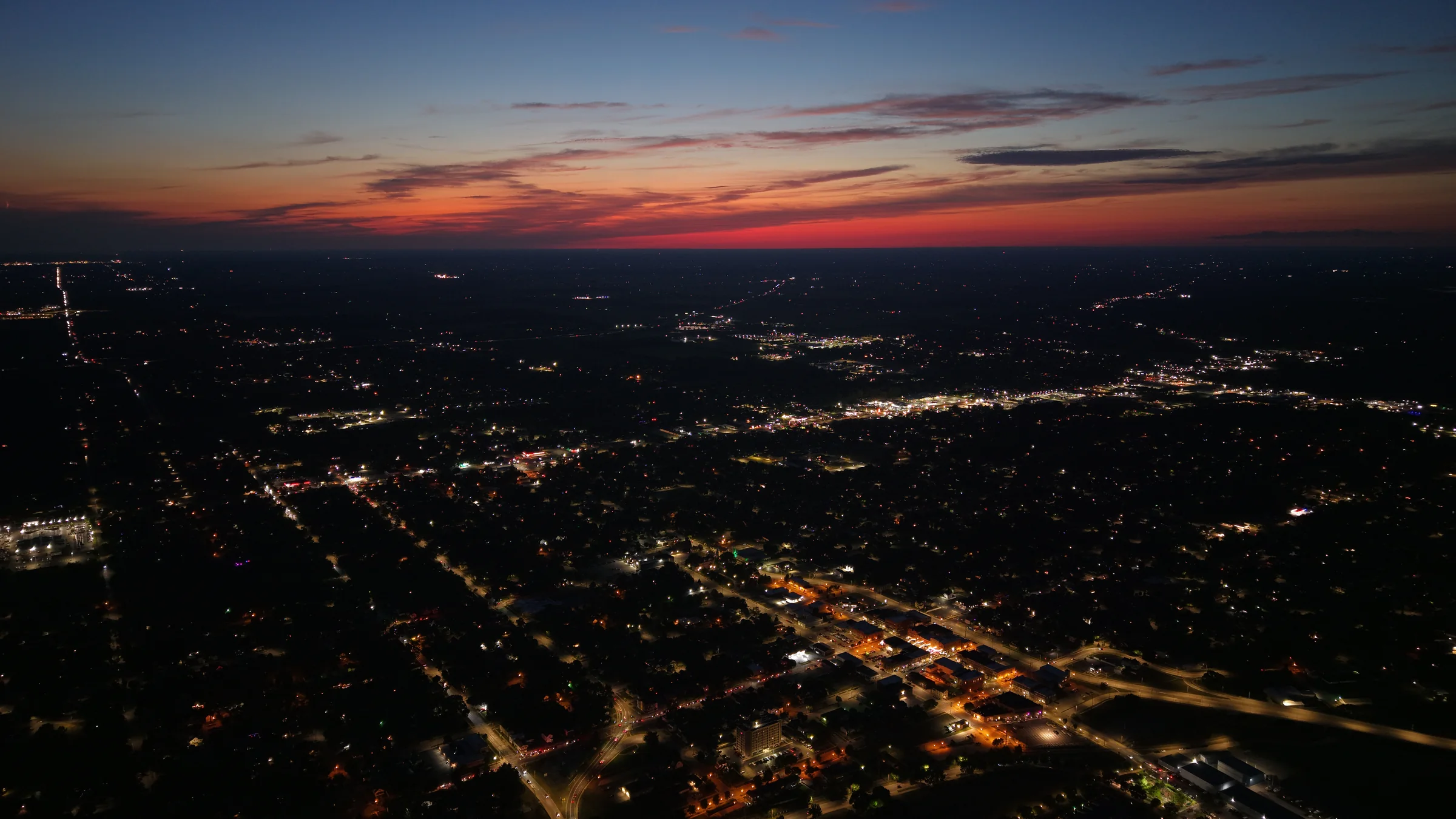
Cityscape
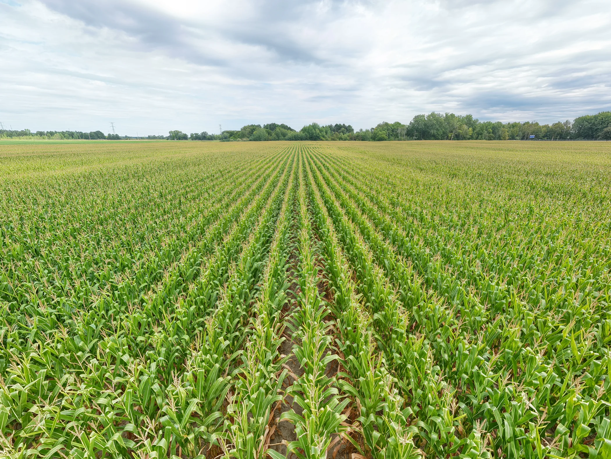
Agriculture
Start with the site
Tell us where the project is and what you want to learn. We’ll help define the right aerial approach.
Request a site assessmentPhotogrammetry
Turn overlapping aerial photographs into detailed, textured 3D models. Capture the shape, surfaces, and surrounding context of buildings and sites in a digital record you can revisit and share.
Model coverage, file formats, and any measurement requirements are agreed before capture.
Discuss a 3D capture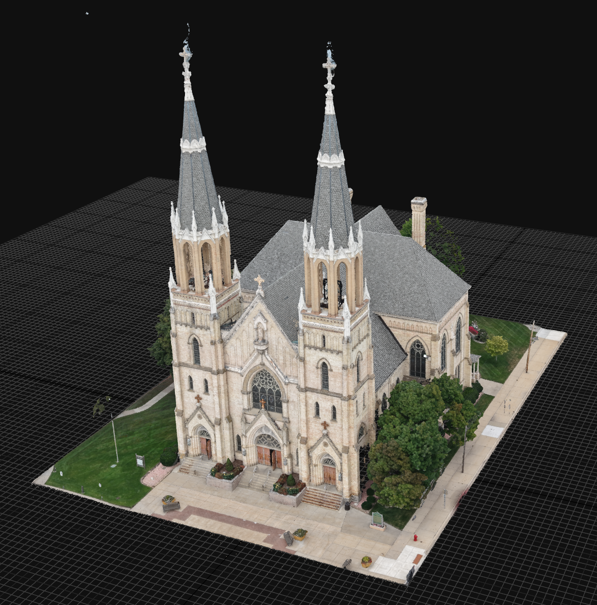
Capabilities
Repeatable, high-resolution site capture for planning, measurement, and documentation.
Clear progress records that help teams see change, communicate status, and stay aligned.
A better aerial perspective for large properties, corridors, earthworks, and hard-to-reach assets.
Immersive, cinematic paths through properties, commercial spaces, and active sites.
Immersive FPV services
Using a compact DJI Avata 2, Aerostrata creates smooth, continuous fly-through footage that connects exterior scale with interior detail—ideal for spaces and projects that static shots cannot fully explain.
Plan an FPV shootOne continuous visual journey through commercial properties, developments, and distinctive spaces.
Repeatable routes that communicate site layout, milestones, and change over time.
Fast, engaging motion designed for websites, proposals, listings, and social campaigns.
Built for the field
Flexible aerial support for the people responsible for land, structures, timelines, and decisions.
A simple flight plan
Share the location, objective, timeline, and the decision your team needs to make.
We define the right flight and deliverable, then collect the site safely and consistently.
Receive clear, shareable outputs without unnecessary technical friction.